

Services
Science and Cartography Services
-
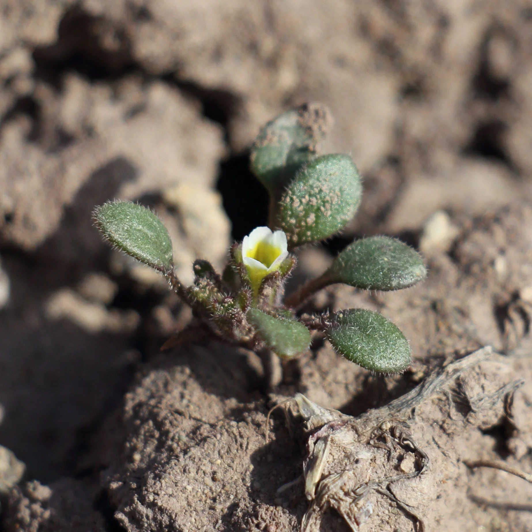
Rare Plant & ESA Botanical Surveys
EcoloGIS specializes in rare plant surveys, habitat delineations, and botanical monitoring across the region. With more than 15 years of experience identifying, mapping, and assessing threatened and endangered flora, we provide defensible data to support ESA compliance, construction monitoring, and long-term population assessments. Our work integrates high-precision field methods with advanced geospatial tools—including ultra-high-resolution drone imagery—and is paired with clear technical reporting to help project teams and agency partners understand results and meet regulatory requirements.
-
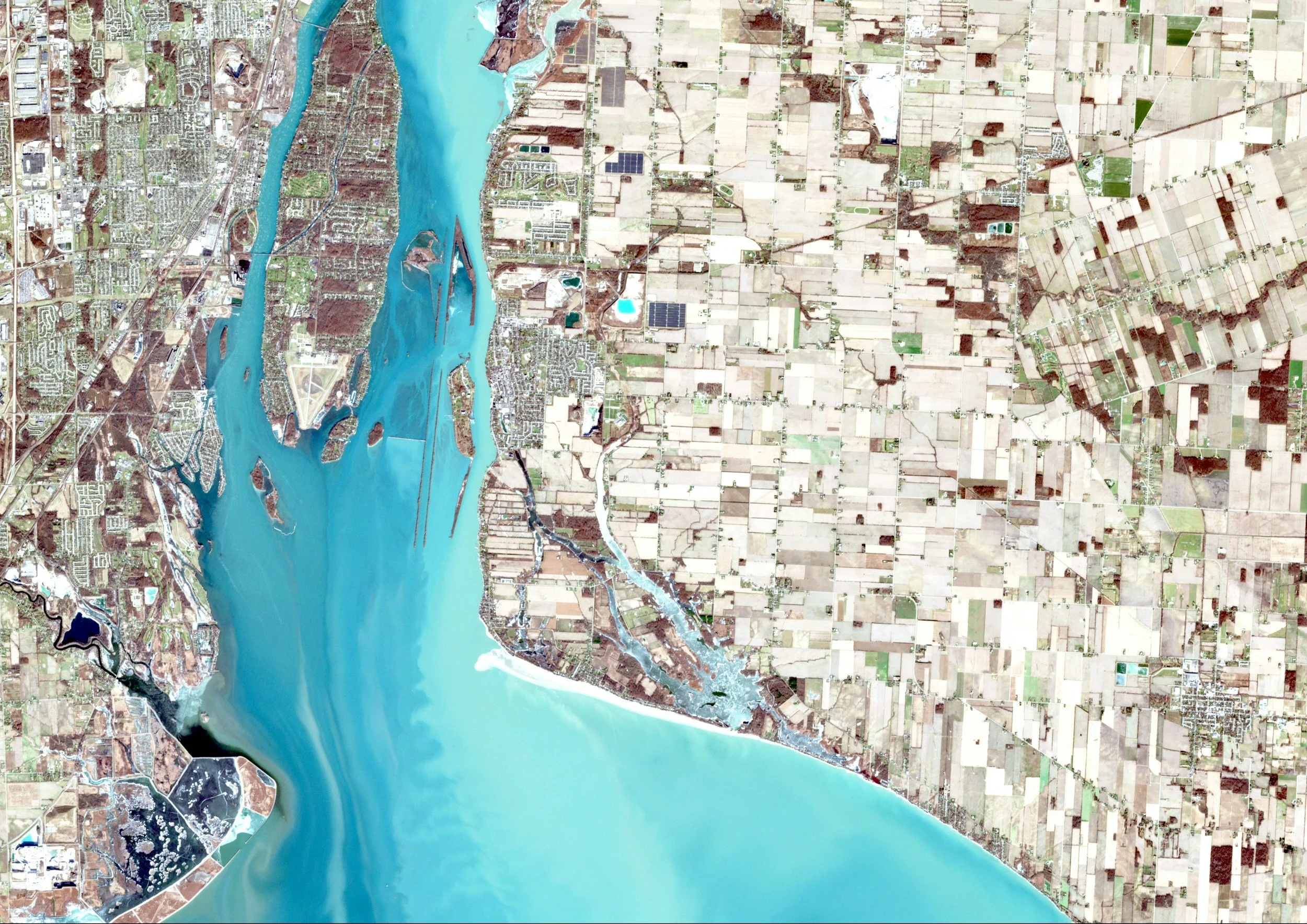
GIS and Drone Services
EcoloGIS provides custom geospatial and remote-sensing support for ecological and environmental projects, including vegetation mapping, orthomosaic production, and high-resolution drone imagery for research and monitoring. Our GIS services help federal agencies, researchers, and conservation partners interpret landscape patterns, document project outcomes, and produce reliable spatial datasets. All deliverables are accompanied by concise technical summaries or full reports as needed, ensuring that spatial analyses translate smoothly into project documentation and decision-making.
-
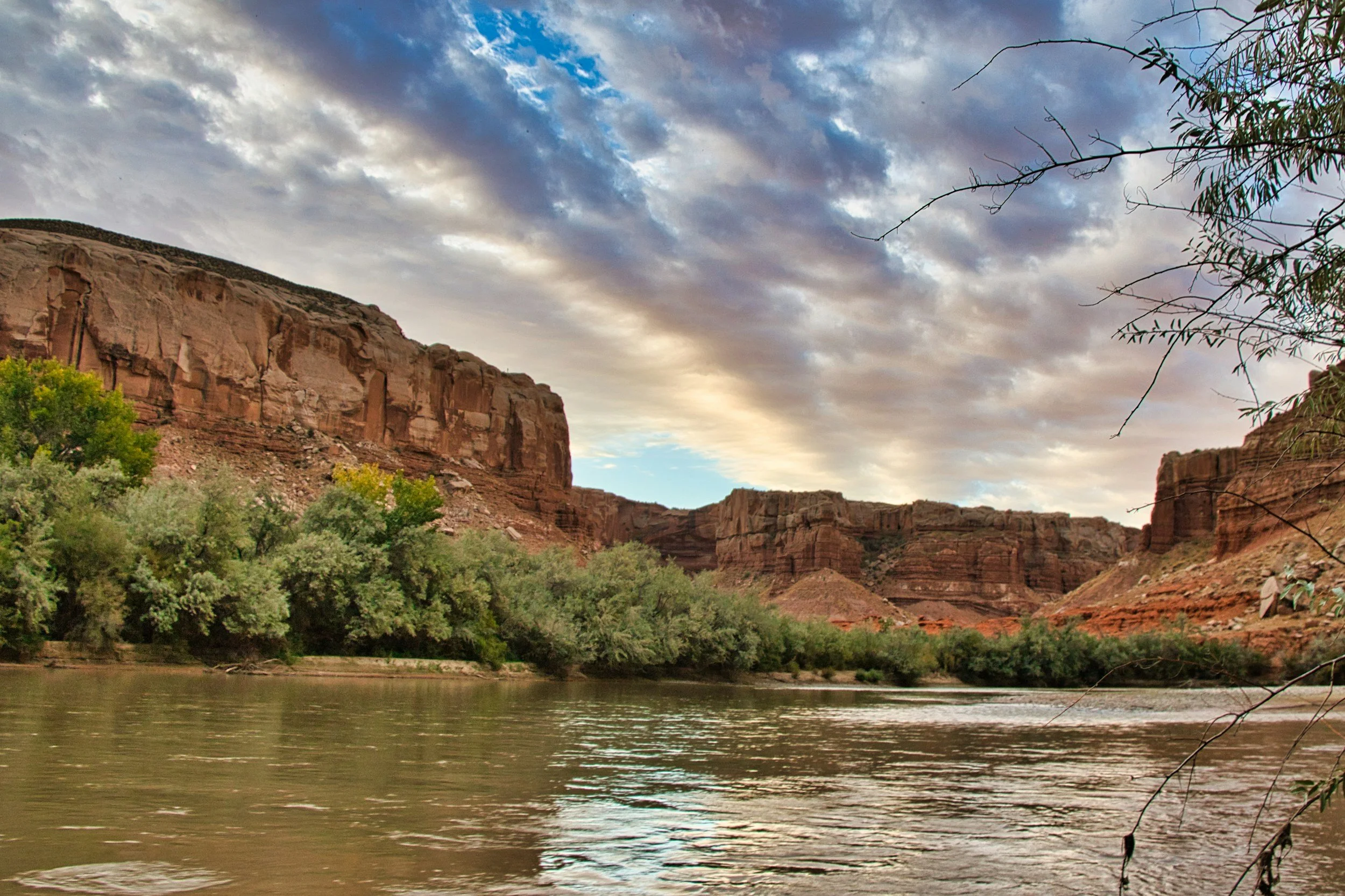
Riparian Restoration
We support riparian restoration projects through drone-based orthomosaics, vegetation monitoring, and line-point-intercept ground surveys. Our work helps partners evaluate Low-Tech Process-Based Restoration (LTPBR) structures, beaver-influenced hydrology, and vegetation response over time. Using high-resolution imagery and GIS analysis, we track ecological change, inform adaptive management, and provide clear reporting that communicates restoration outcomes and supports long-term watershed planning.

You Can Count on Us
EcoloGIS provides science-driven ecological and geospatial services, delivering clear, accurate data for conservation and natural resource management. By combining field expertise with advanced GIS, drone imagery, and remote sensing techniques, we help partners interpret complex landscapes and make informed decisions. Our custom mapping products, ecological analyses, and high-resolution spatial datasets support restoration efforts, regulatory compliance, and long-term resource stewardship.