

Ecologic Surveying & Mapping
Clarity. Conservation. Science.
Science-Driven Ecological
Insights for the
Colorado Plateau
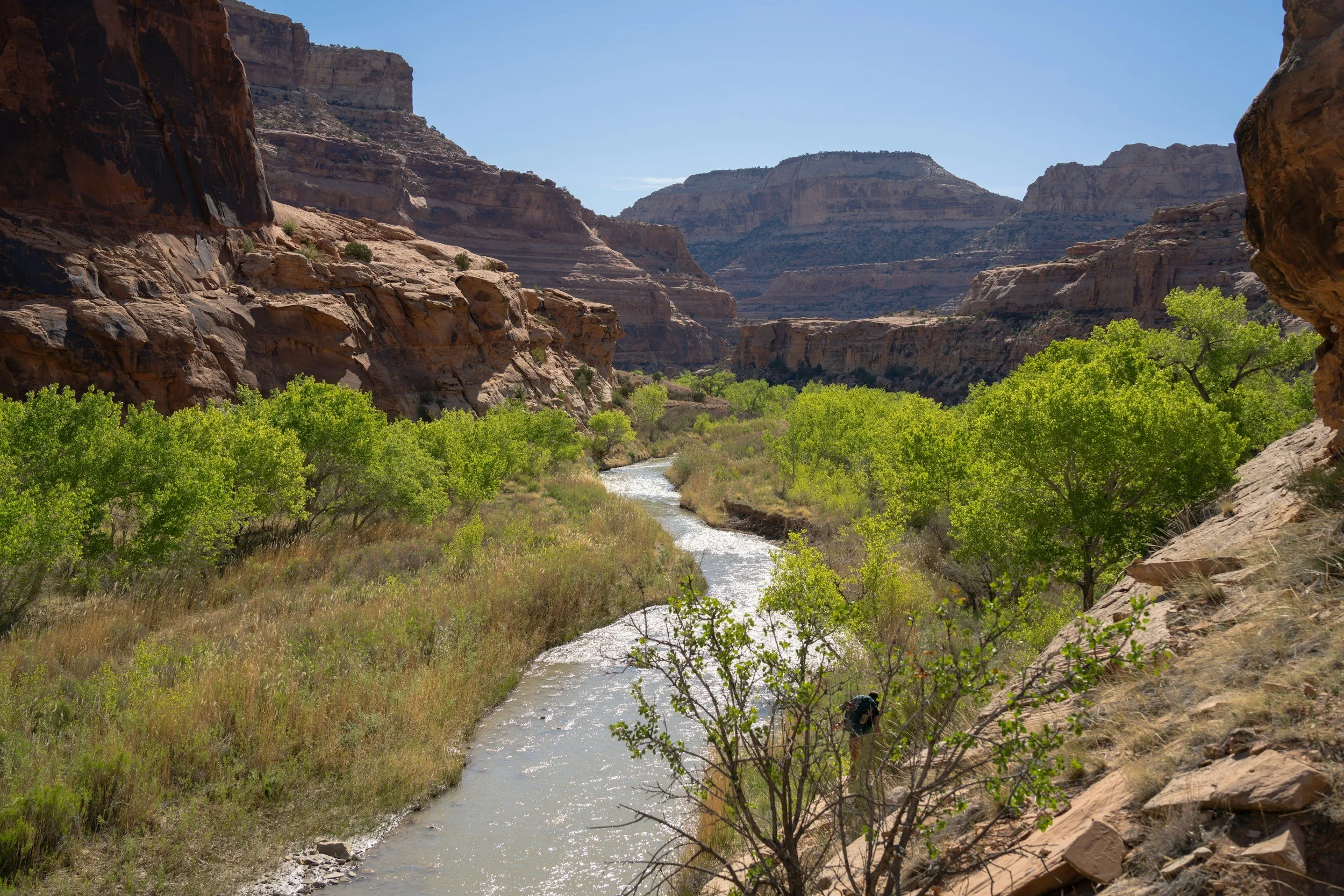
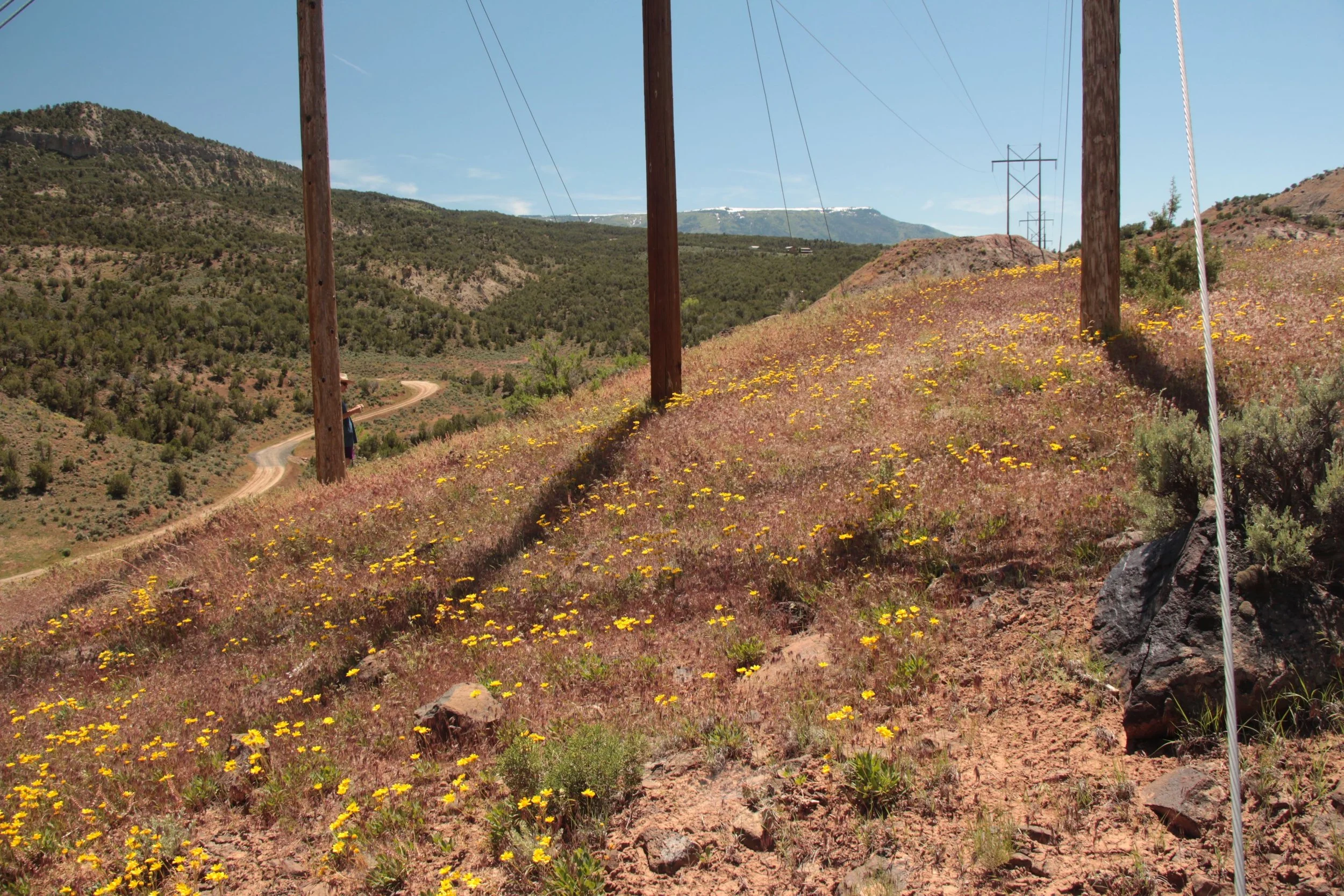
EcoloGIS provides rare plant surveys, riparian restoration monitoring, and geospatial analysis built on scientific rigor and deep field experience. From drone-based mapping to botanical inventories, we help land managers, agencies, and conservation partners make confident, data-driven decisions rooted in ecological integrity.
What We Do
We deliver high-quality ecological data and geospatial products that support restoration, conservation, and regulatory compliance across the Intermountain West. Our work integrates botany, remote sensing, GIS, and field-based ecology to illuminate patterns across landscapes and translate them into actionable insights for clients.
Featured Services
-
Rare Plant & ESA Botanical Surveys
Comprehensive field surveys, habitat assessments, and spatial documentation for threatened, endangered, and BLM sensitive plant species. We provide defensible data for Section 7 consultation, project permitting, and environmental compliance.
-
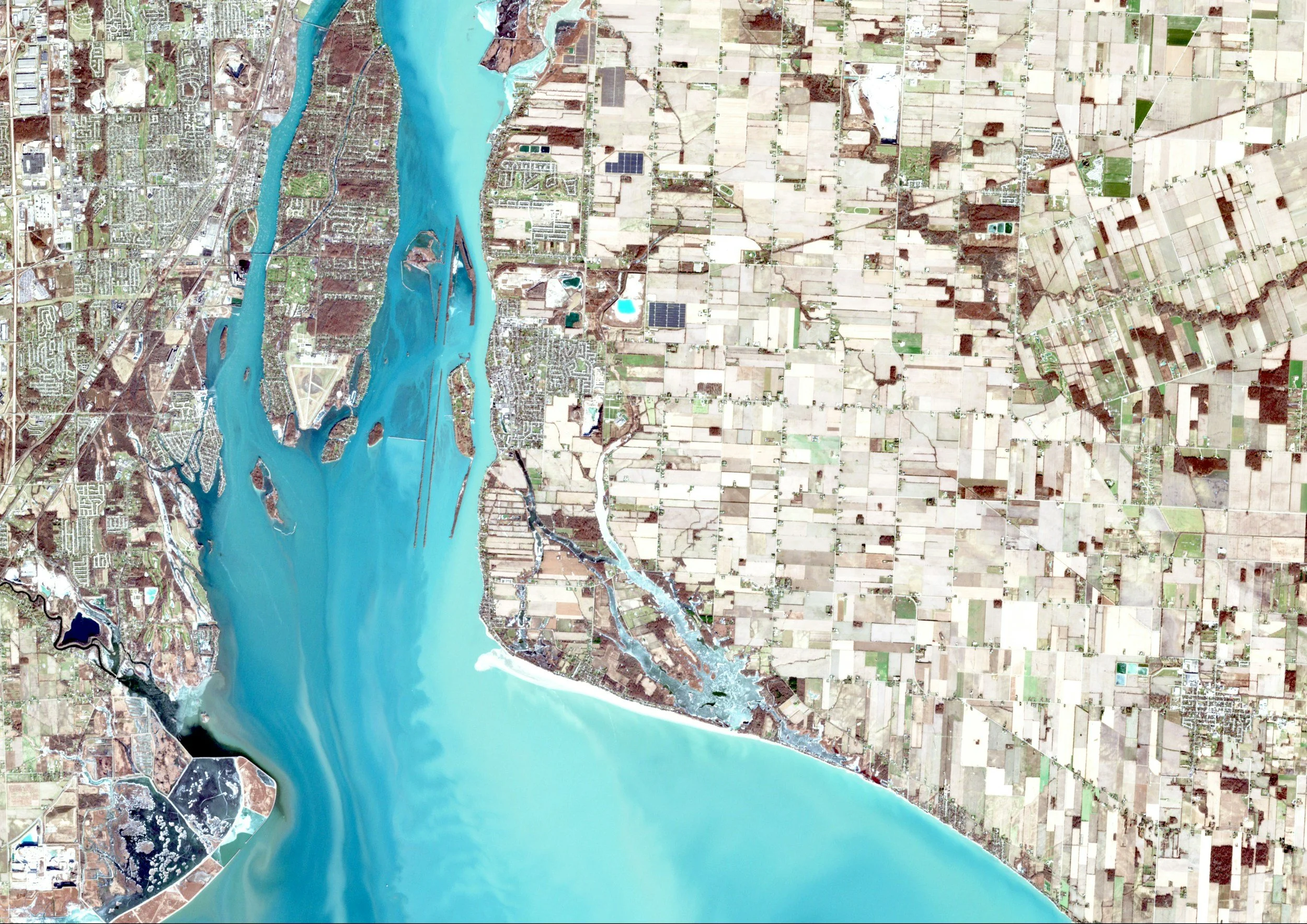
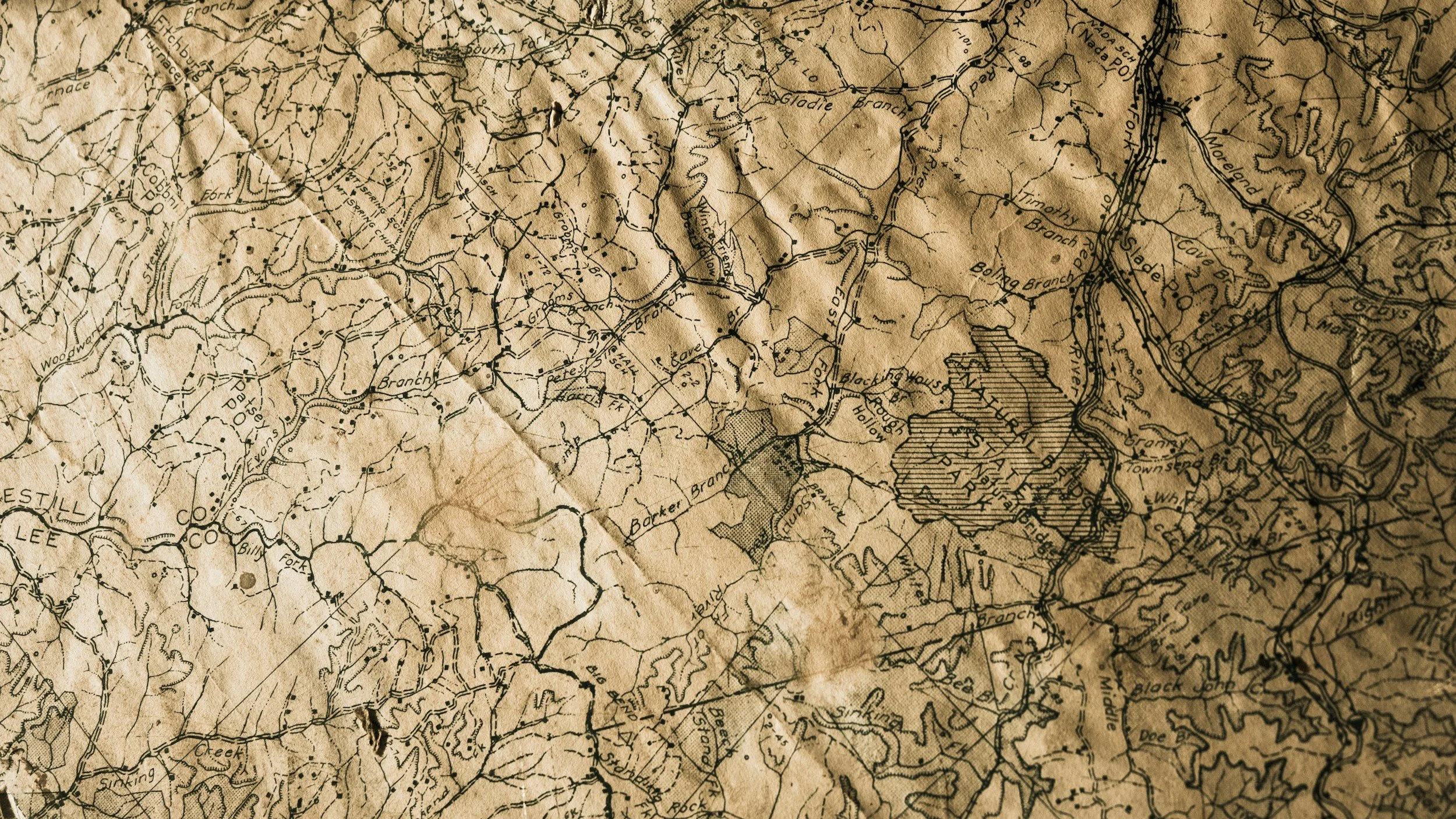
GIS and Drone Services
We use high-resolution drone imagery and GIS analysis to create detailed maps, orthomosaics, and ecological datasets that support restoration planning, monitoring, and research.
Why Clients Choose EcoloGIS
Scientific Precision
Research-backed methods and accurate species identification
GIS-Powered Clarity
High-resolution maps that reveal what’s happening on the ground.
Regulatory Confidence
Deliverables aligned with ESA, NEPA, and agency requirements.
Western Expertise
Deep familiarity with regional plants, habitats, and ecosystems.
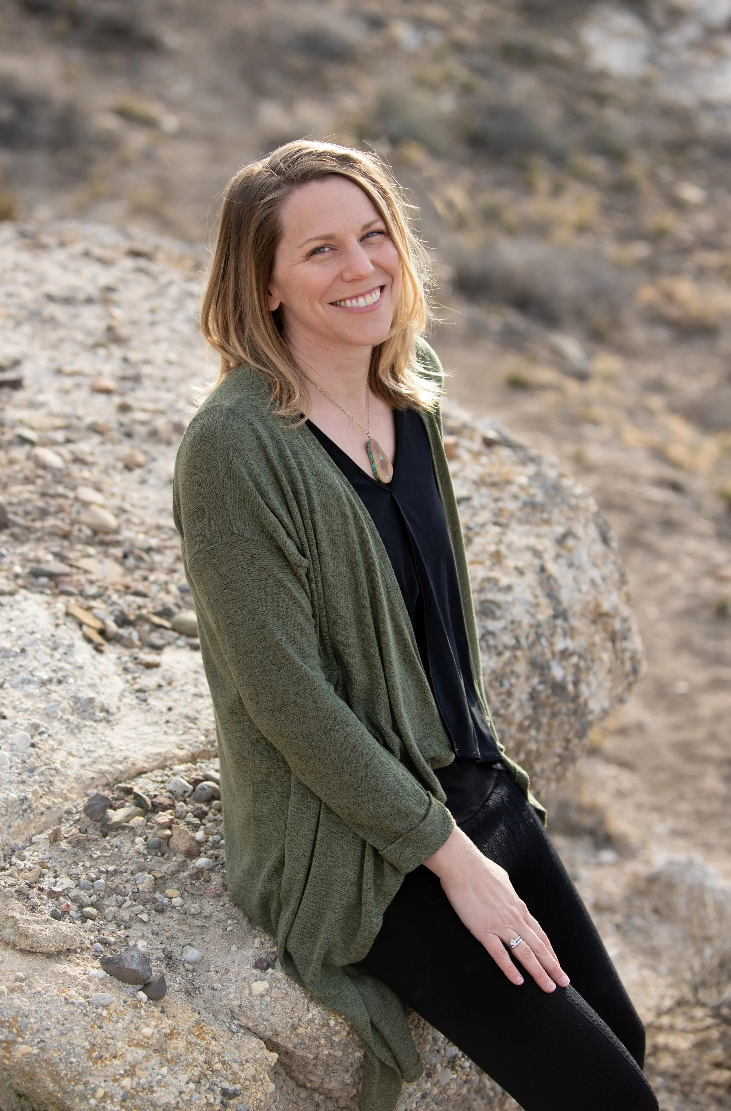
Meet Alicia Langton
Alicia Langton, MS, GISP, is a botanist and geospatial ecologist with more than fifteen years of experience in rare plant surveys, riparian restoration monitoring, and remote sensing. As the founder of EcoloGIS, she blends field biology with advanced geospatial tools to deliver high-quality ecological data for agencies, nonprofits, and conservation partners across the Colorado Plateau.